


Welcome
Login to your account
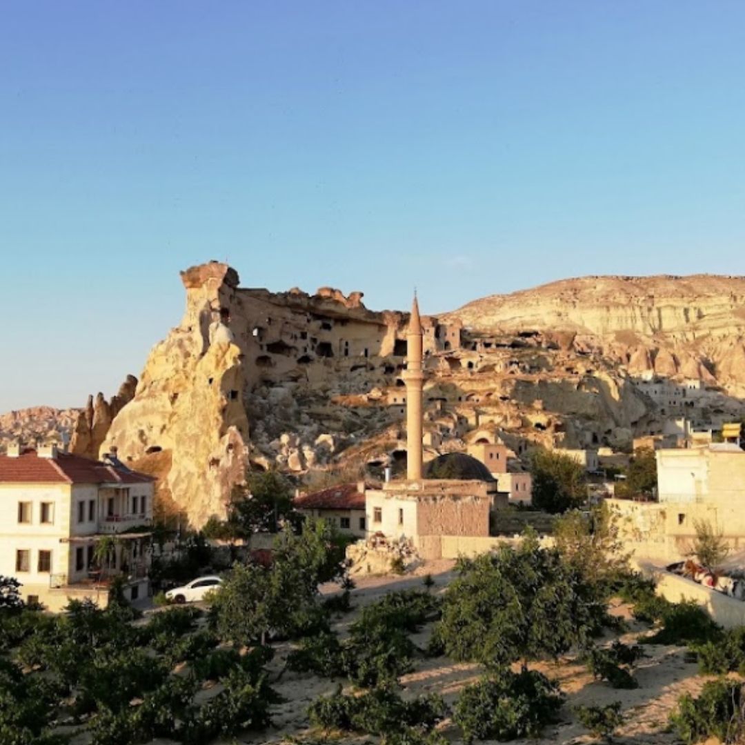
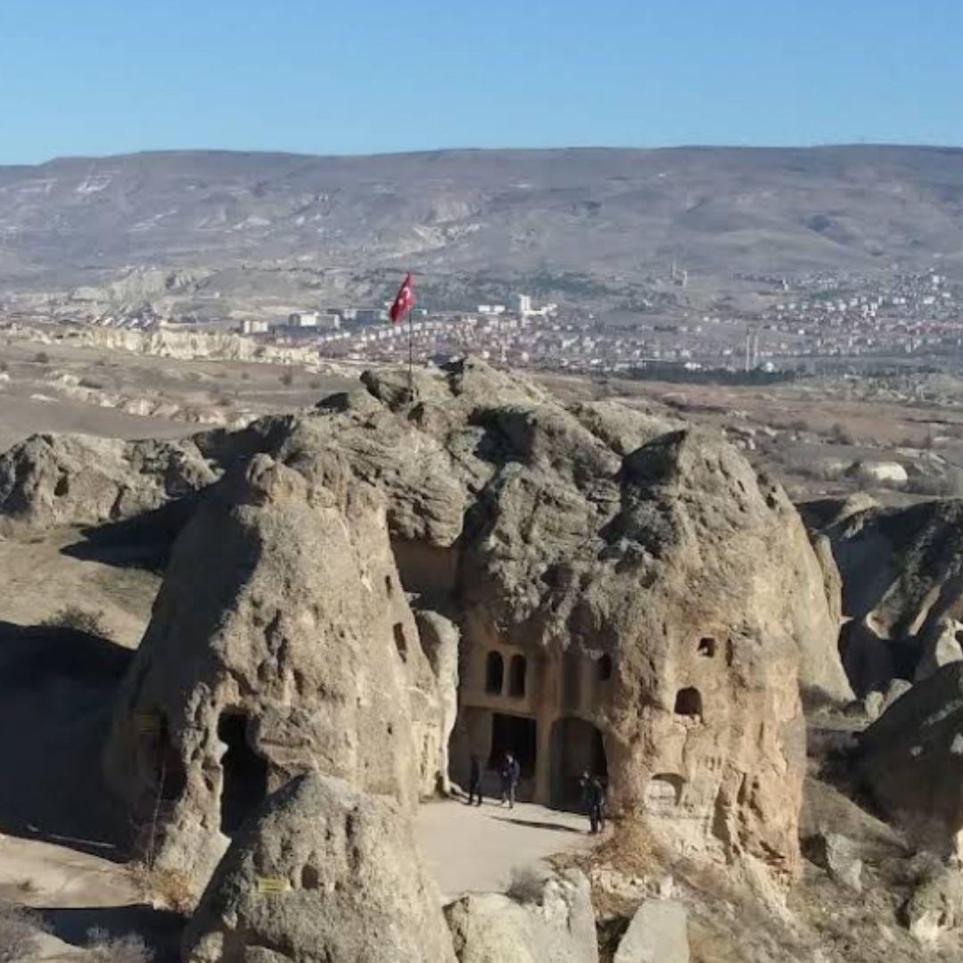
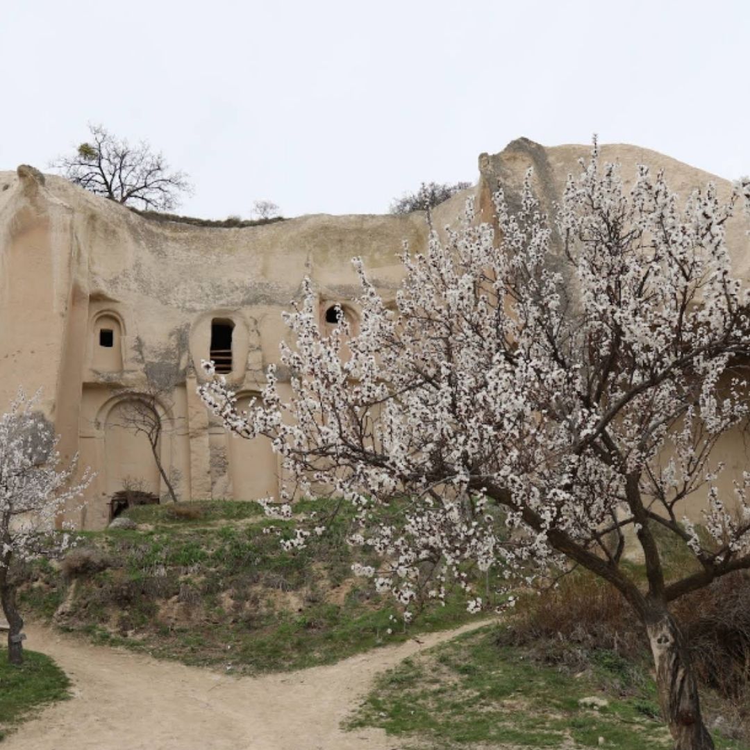
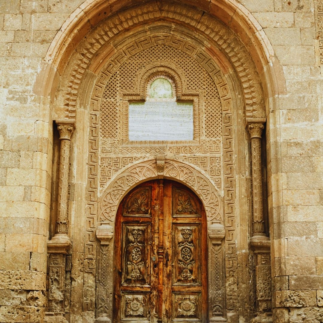
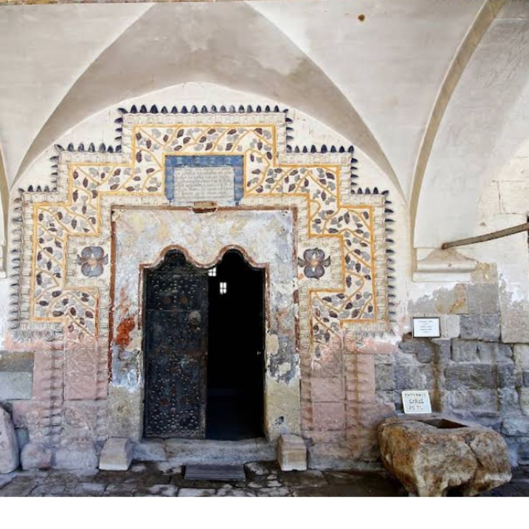
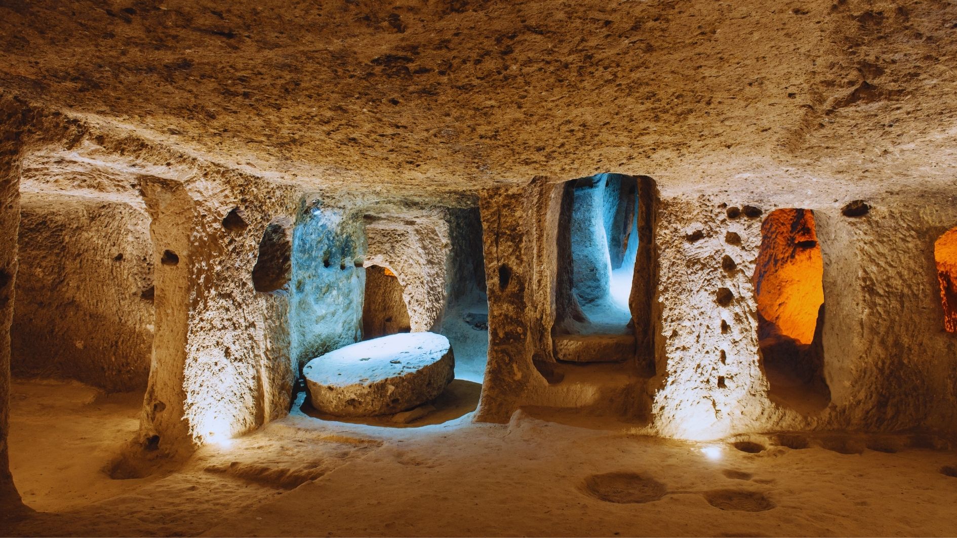
Kaymaklı Underground City
Kaymaklı Underground City
Travel Point Overview
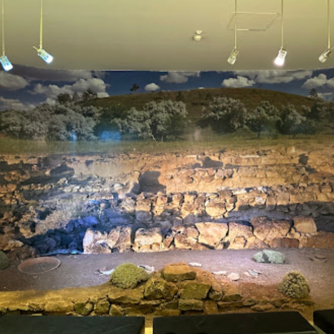
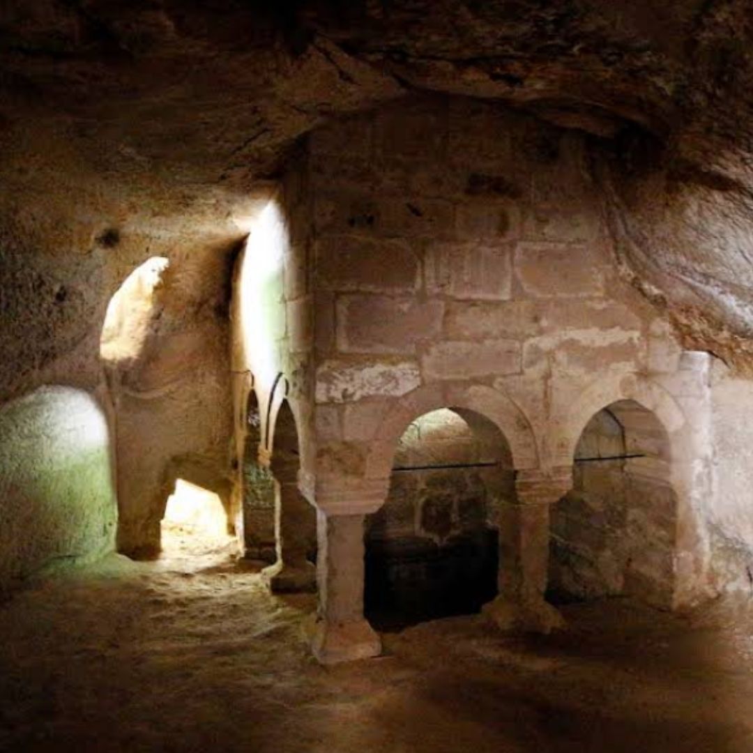
Located in the town of Kaymaklı, just 20 kilometers from Nevşehir city center, the Kaymaklı Underground City is one of the largest and most remarkable subterranean settlements in the Cappadocia region. Carved into soft volcanic rock, this incredible.....
Kaymaklı Underground City – A Hidden Civilization Beneath Cappadocia
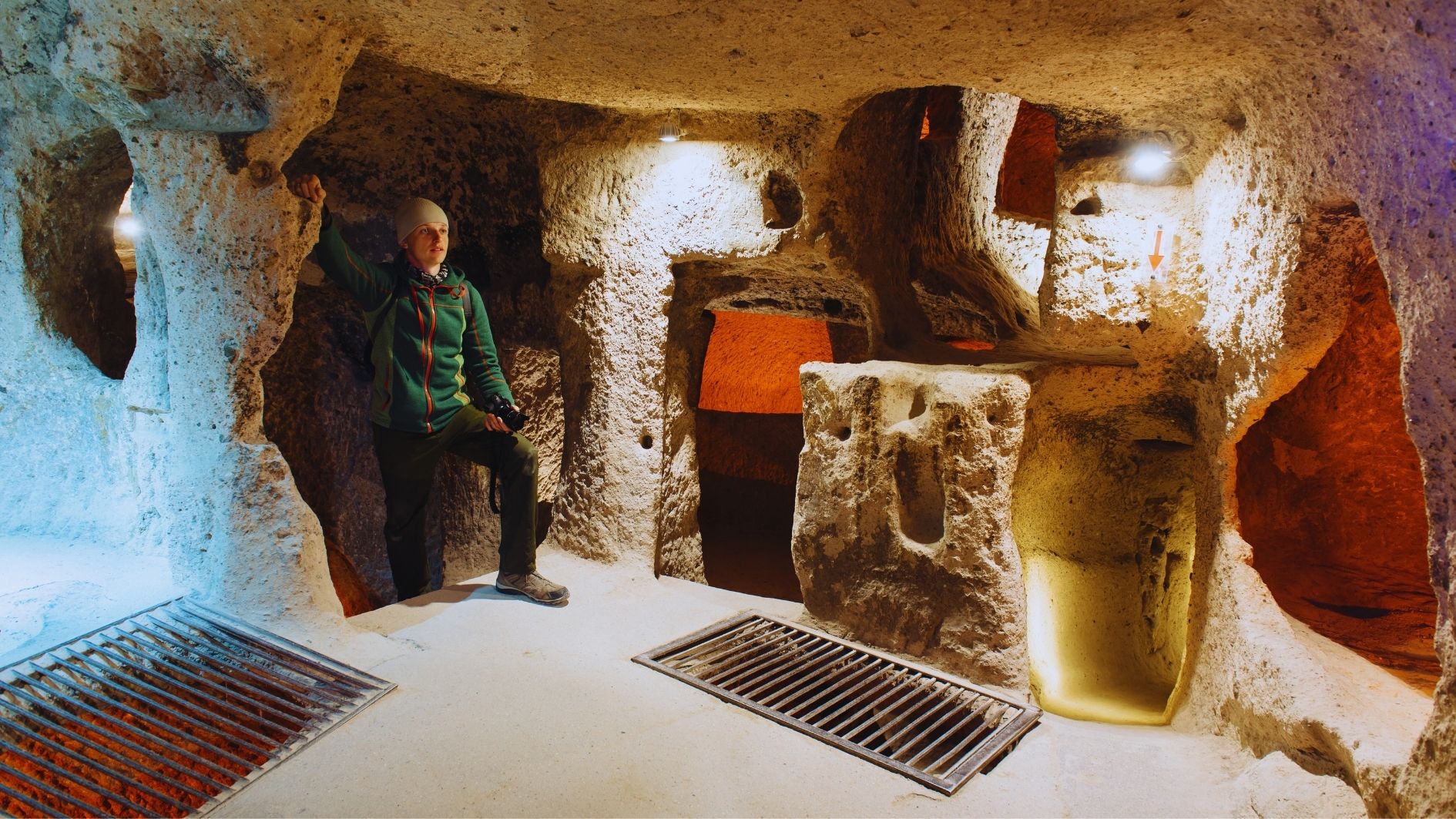
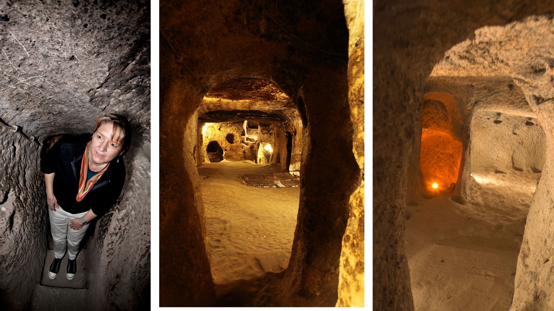
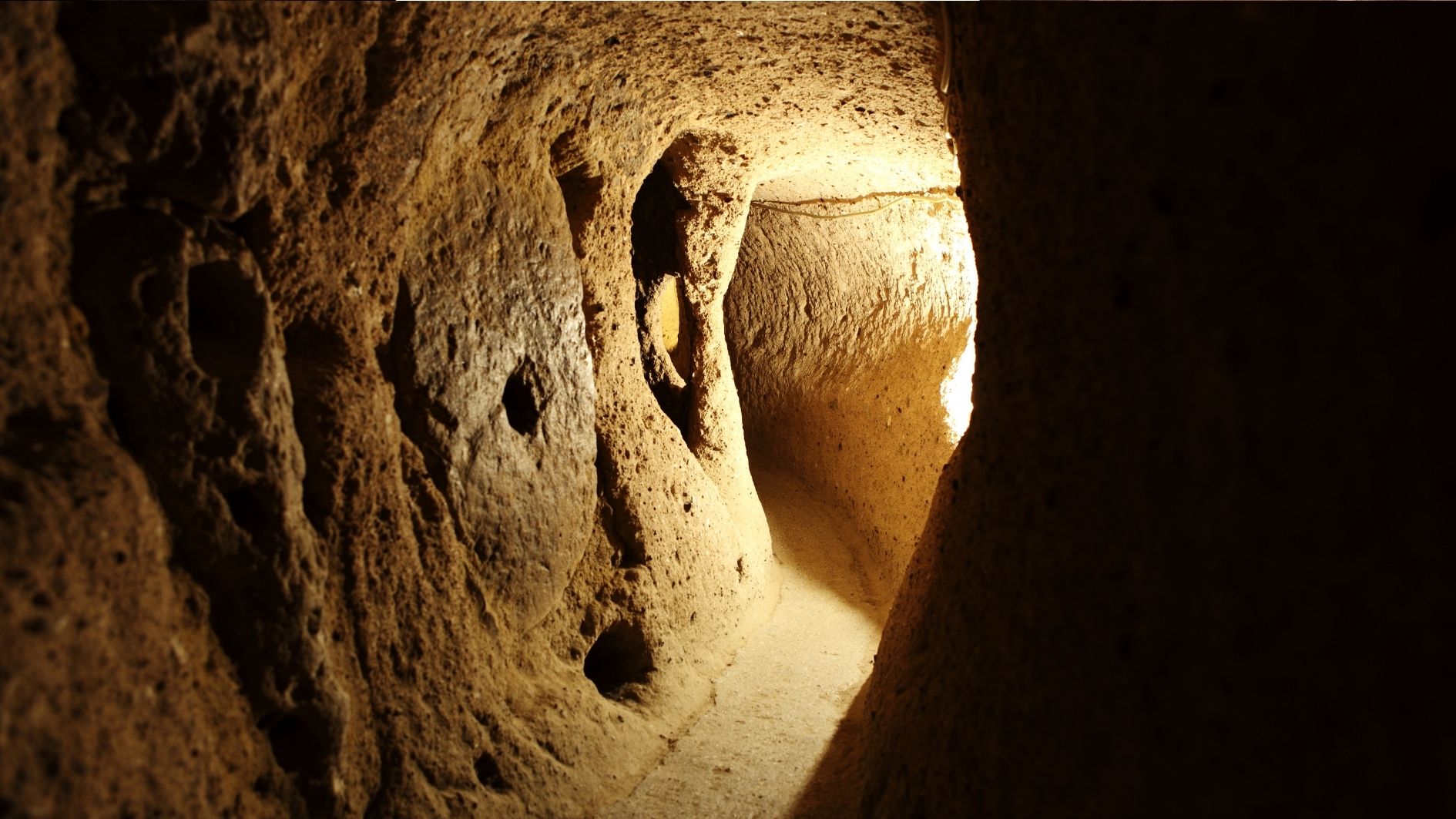
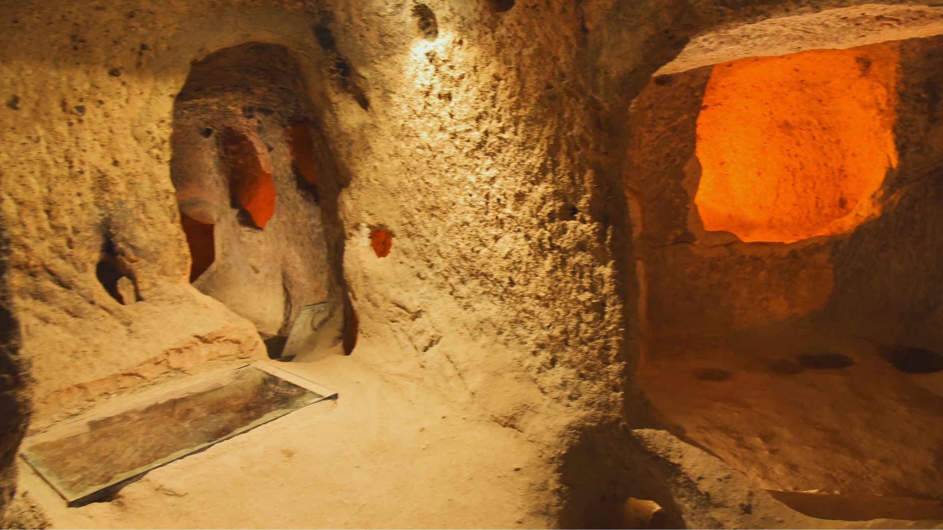
Located in the town of Kaymaklı, just 20 kilometers from Nevşehir city center, the Kaymaklı Underground City is one of the largest and most remarkable subterranean settlements in the Cappadocia region. Carved into soft volcanic rock, this incredible structure provided shelter, safety, and essential living conditions for entire communities—many of whom lived underground for extended periods of time.
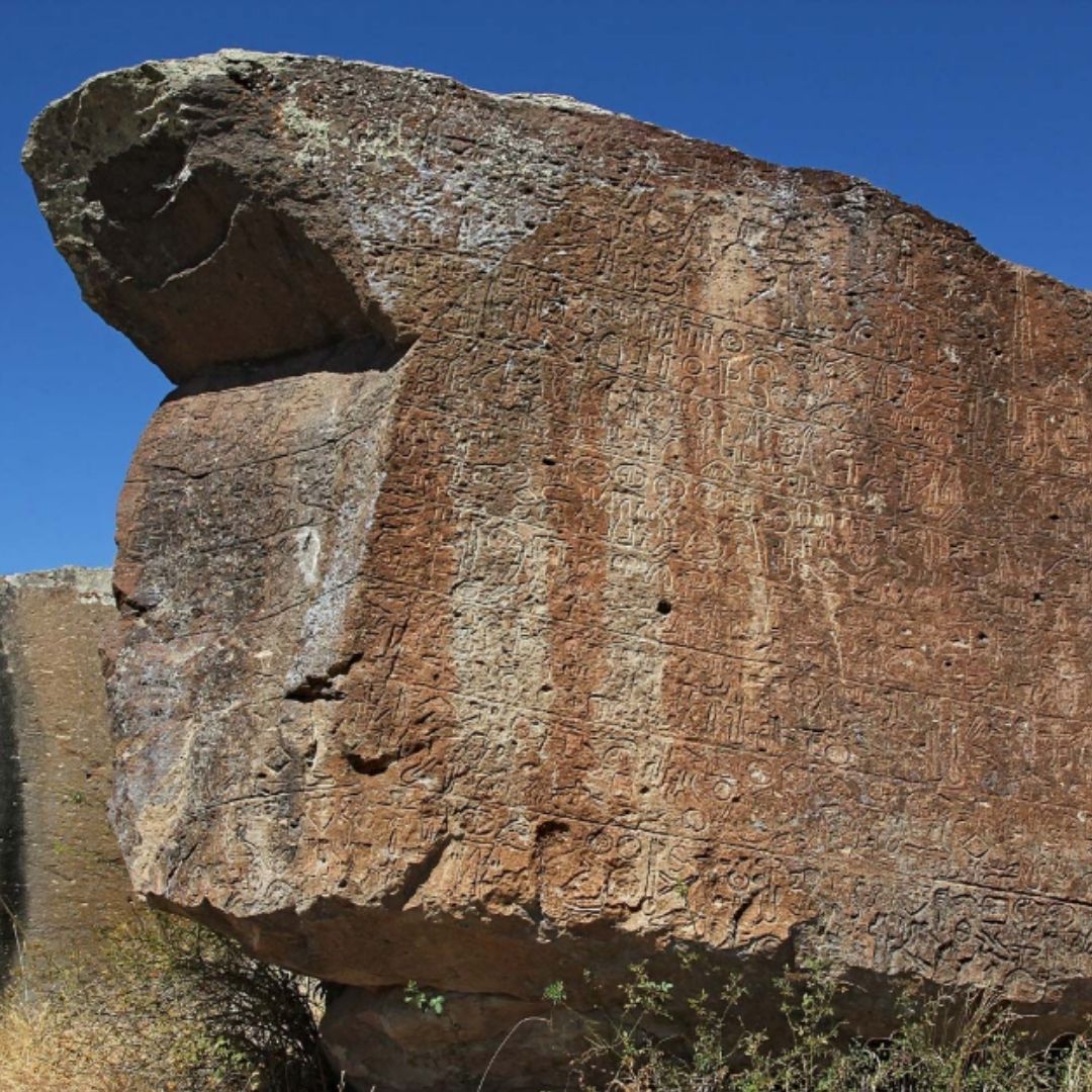
🕰️ Historical Origins
- The first level of the city was built during the Hittite period (2nd millennium BCE)
- Expanded during the Roman and Byzantine eras, eventually reaching eight levels deep
- Over the centuries, it was used as a refuge, storage center, and place of worship
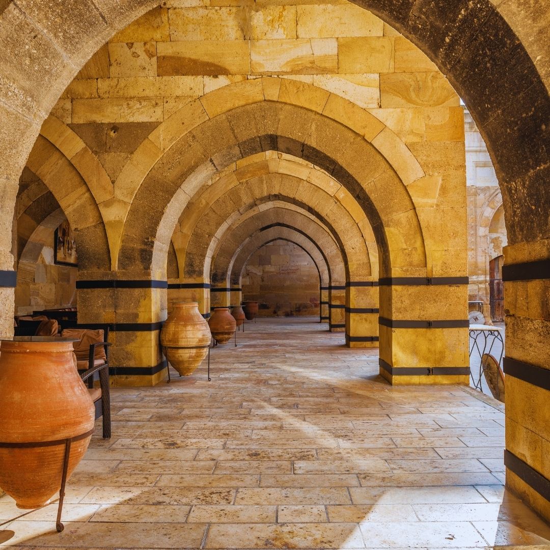
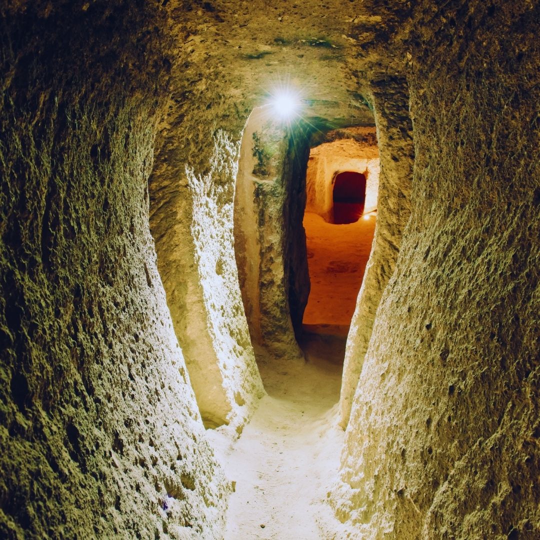
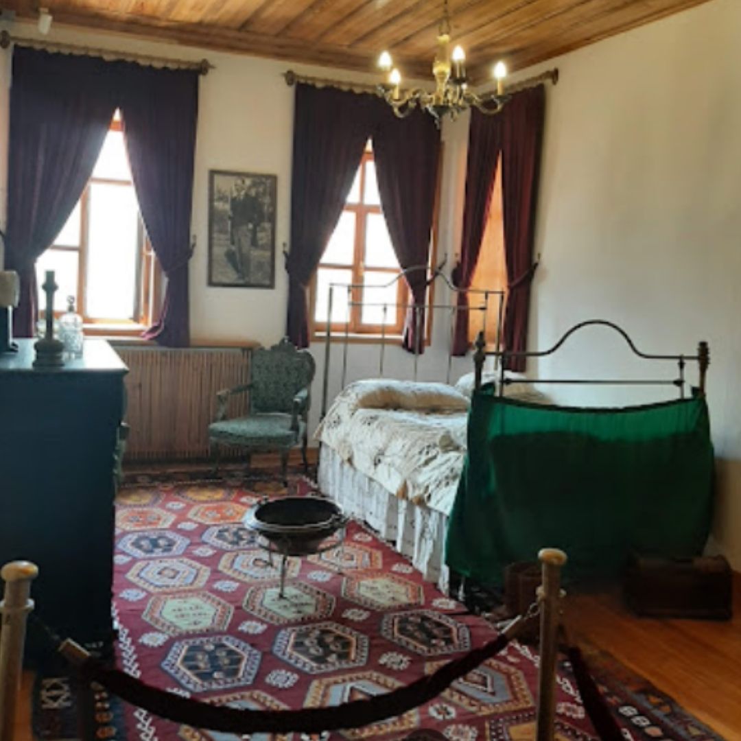
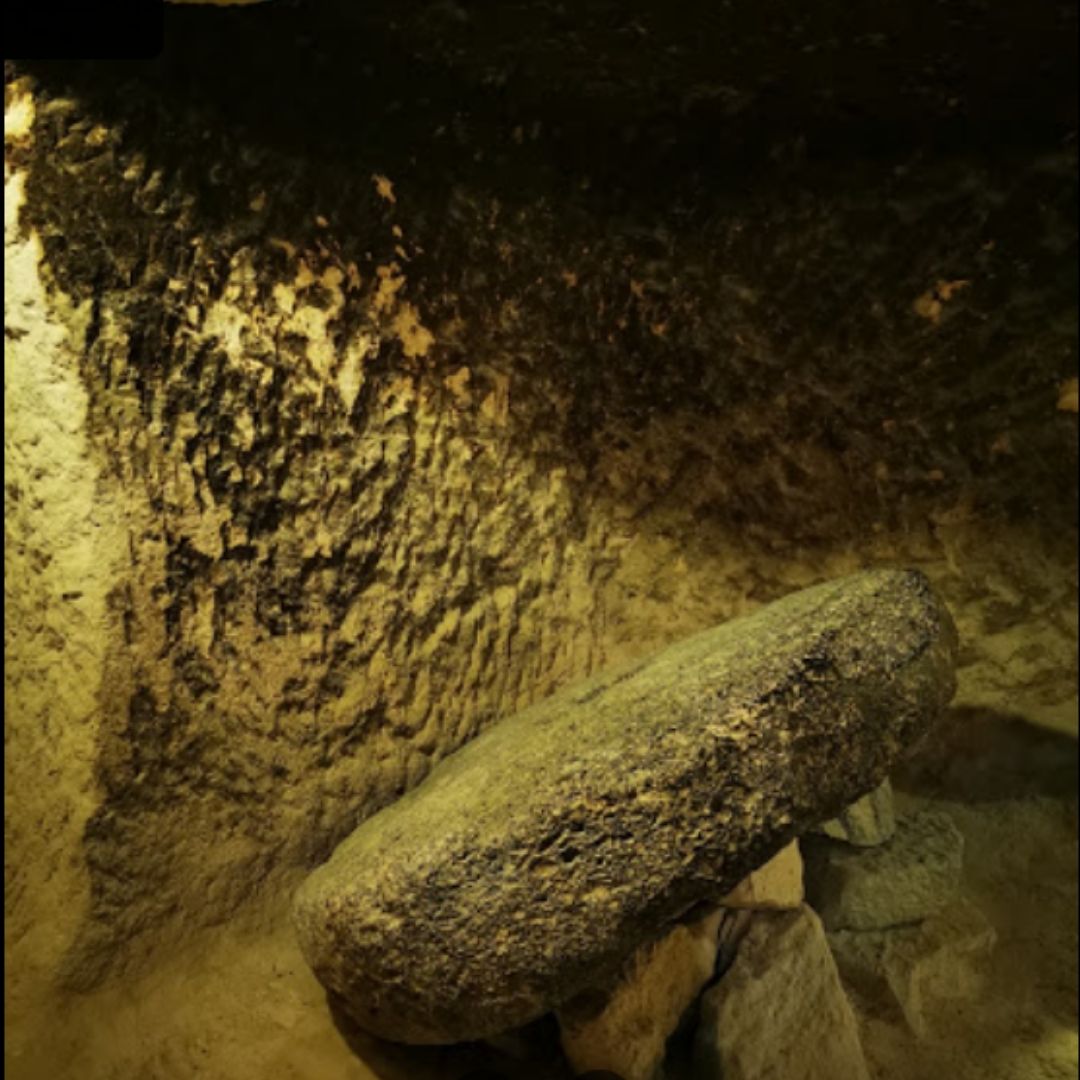
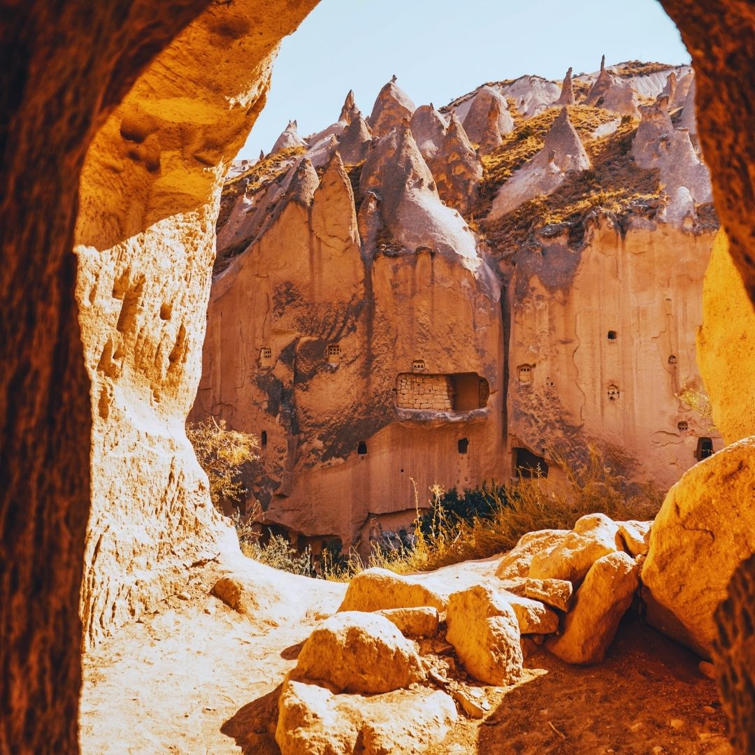
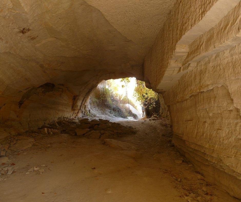
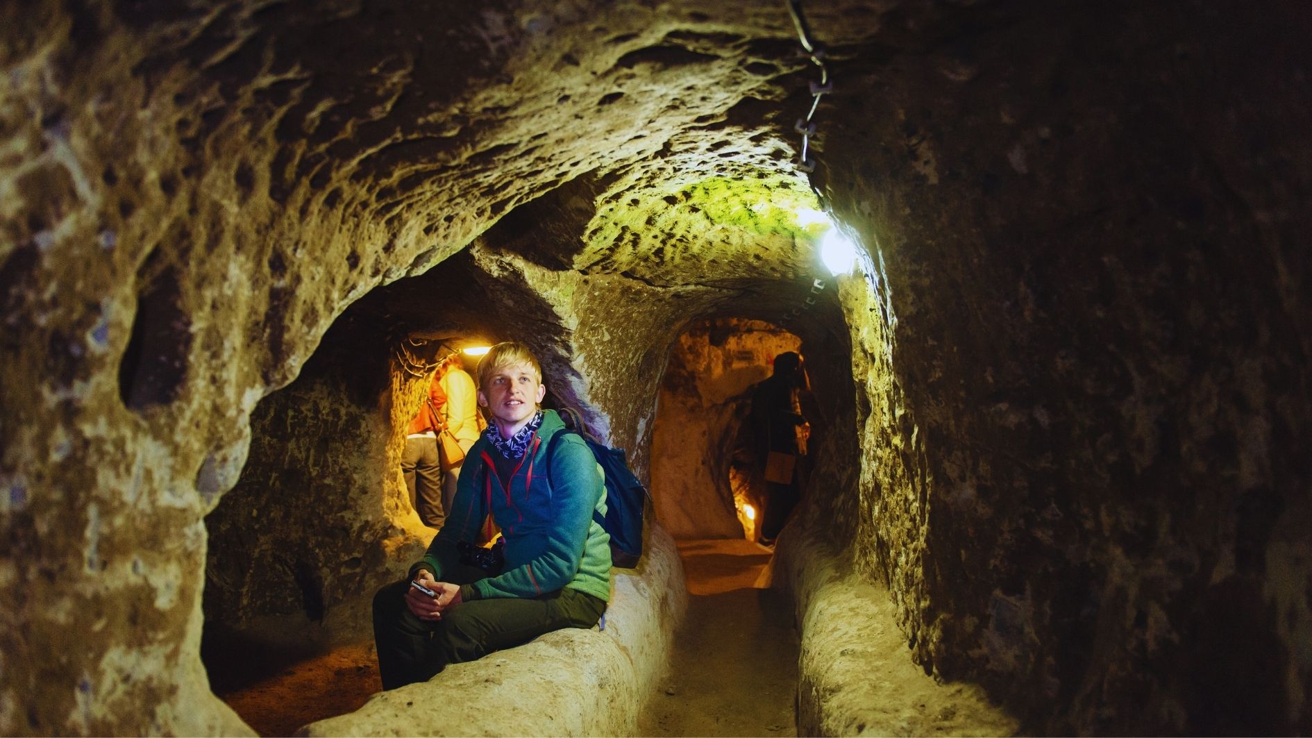
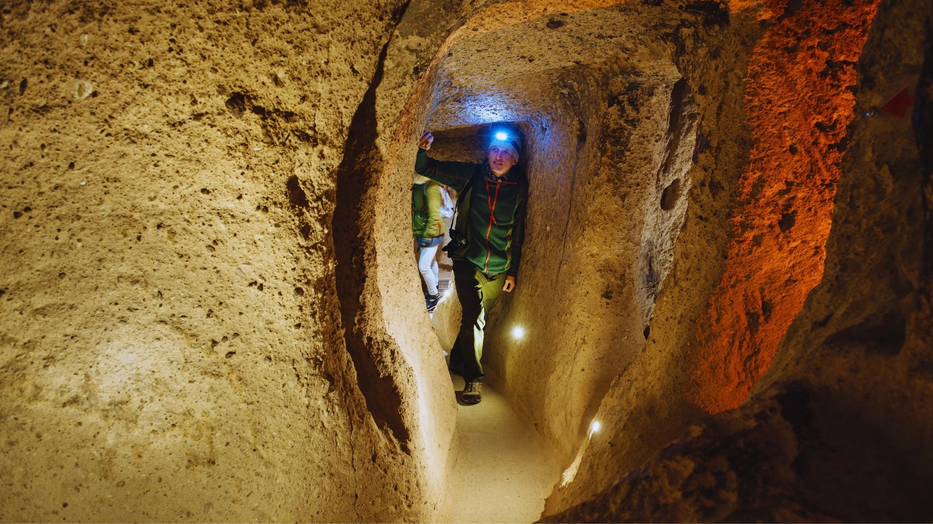
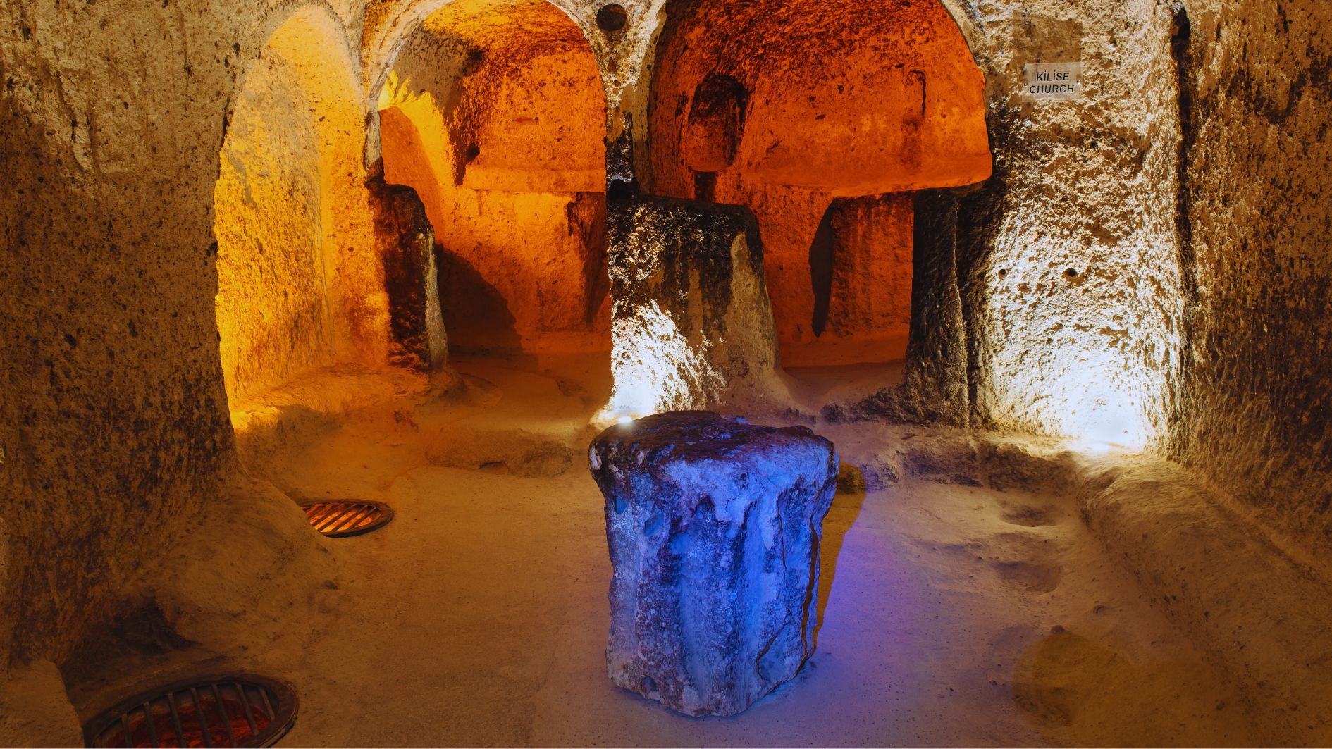
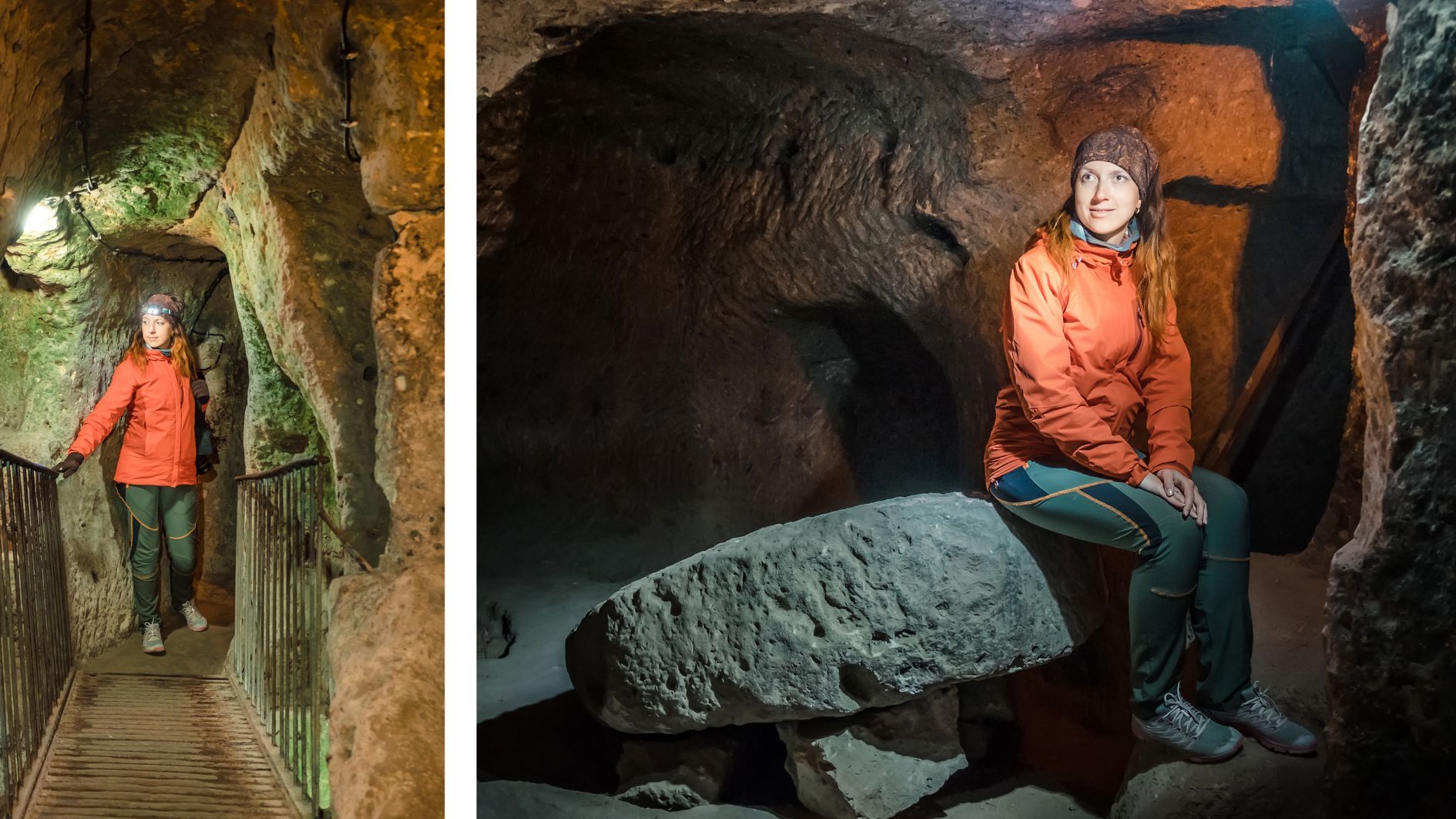
🏛️ Architectural Features
The Kaymaklı Underground City was designed to accommodate a community in total secrecy and safety. Inside, you’ll find:
- 🔁 Narrow tunnels and corridors connecting rooms and chambers
- 🍷 Wine cellars, 🫙 storage rooms, 💧 water cisterns
- 🔥 Kitchens, 🪵 clay ovens, 🕳️ ventilation shafts
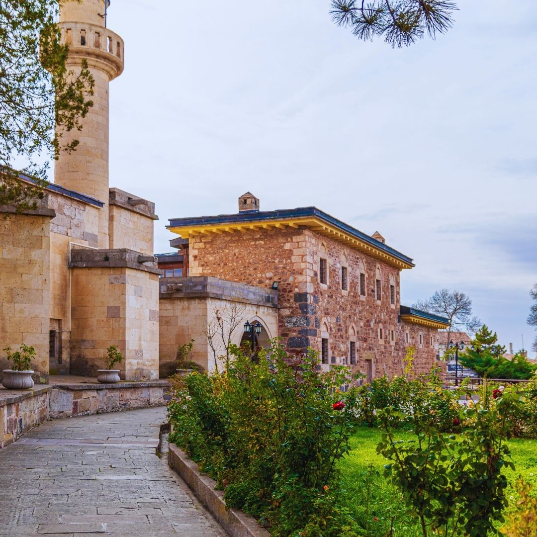
- 🛐 Churches and chapels for religious practice
- 🛡️ Massive rolling stone doors used to seal off passageways in times of danger
- 💦 Water wells to support daily life underground
Currently, four of the eight levels are open to visitors, showcasing a unique blend of ancient engineering and survival strategy.
📅 Visitor Information
- 🏛️ Opened to the public in 1964
- 🔓 Only the first four levels are accessible today
- 🔦 Guided tours and audio guide options are available on-site or via mobile apps
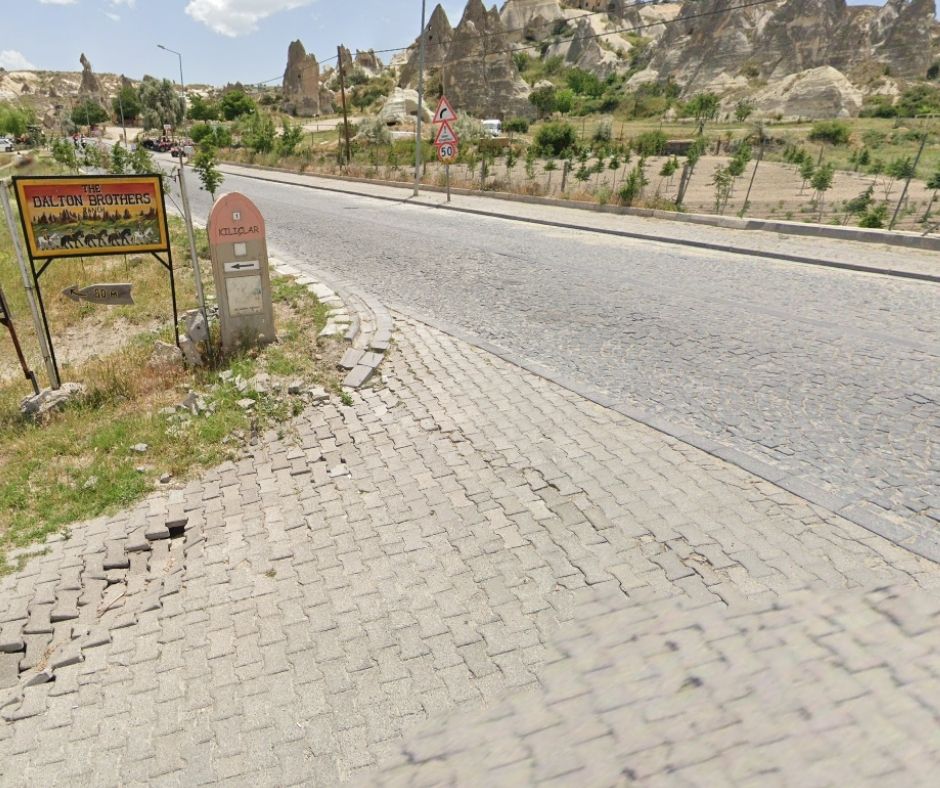
📍 How to Get There
- 📌 Address: Cami Kebir Mahallesi, Belediye Caddesi, 50760 Kaymaklı / Nevşehir
- 🚗 Easily accessible by private vehicle
- 📱 For directions and navigation, use the Advisormapp mobile app
🚍 No car?
Check out our guide:
👉 Local Transportation Guide in Cappadocia – 2025
🚌 Tour Options & Private Transfers
- Many regional tours, especially the Green Tour, include a visit to Kaymaklı
- Use the Activities section on Advisormapp to:
- 🔎 See which tours include Kaymaklı
- 💰 Compare prices and itineraries
- You can also book:
- 🚘 Private car with driver
- 🚕 Taxi service via Advisormapp
Perfect for independent travelers, families, and small groups.
🎧 Explore with Advisormapp
Using the Advisormapp app, you can:
- 📍 Get accurate navigation and travel routes
- 🎧 Access audio guides in multiple languages
- 📸 Discover the best photo spots and travel tips
- 🗺️ Find nearby historical sites and attractions
✨ Quick Facts
- 📅 Open to visitors since: 1964
- 🏗️ Total levels: 8, with 4 open to the public
- 🛡️ Used for defense, shelter, and daily life during invasions
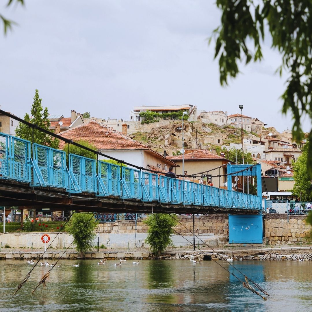
- 📍 Location: Kaymaklı, Nevşehir Province
- 📱 Use Advisormapp for tours, navigation, and transport options
- #KaymaklıUndergroundCity
- #CappadociaUnderground
- #HiddenCappadocia
- #TurkeyHistoricalSites
- #CappadociaGreenTour
- #AdvisormappTravel
- #AncientEngineering
- #CappadociaItinerary
- #NevşehirUnderground
- #ExploreWithAdvisormapp